Metro SD
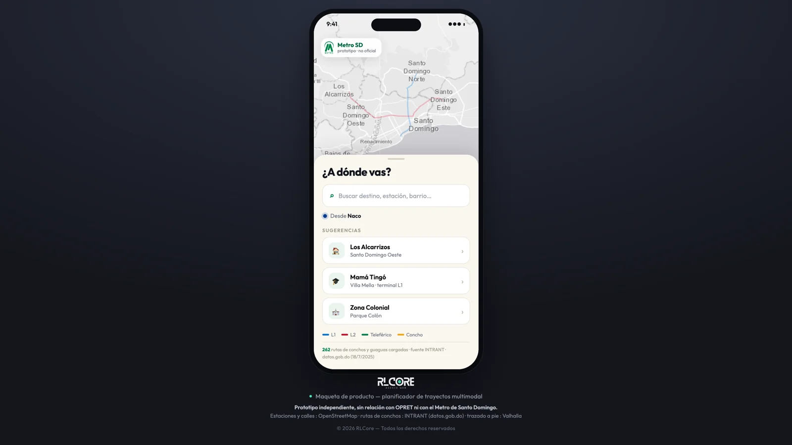
Getting around Santo Domingo means stringing together two metro lines, a cable car and hundreds of concho routes nobody maps. This mockup turns the question around: what if the app only asked where you are going, and worked out the rest?
What was built
Three networks, one trip
Both metro lines, the cable car and the 262 concho and guagua routes loaded from open data: the route hops between them without the rider needing to know which to take.
Public sources, credited
Stations and streets from OpenStreetMap, concho routes from INTRANT via datos.gob.do, walking legs computed by Valhalla. Every source is named in the app, which states throughout that it is an unofficial prototype.
Built for the thumb
Full-screen map, a sheet that slides up, search and suggestions within thumb reach: the mockup handles like a native app without leaving the browser.
Technologies
A similar project?
Let's talk — a few quick questions are enough for us to give you a useful answer.
Start my project